|
There are 168 locations in the database. Most recent 5 additions Locations in a distance of approx. 5 km Holthoevensestraat, Teuge Station Apeldoorn Osseveld Locations in a distance of approx. 5 to 10 km Prinses Beatrixlaan, Apeldoorn Tullekensmolenweg, Lieren Klarenbeek, Oudhuizerstraat Achterste Kerkweg, Lieren Locations in a distance of approx. 5 km Coldenhovenseweg, Eerbeek Brummen, Windheuvelstraat Kleine Vosstraat, Brummen Pomphulweg, Hoog Soeren Afleidingskanaal, Eefde |
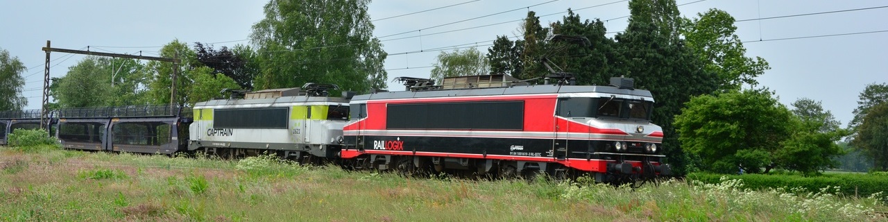
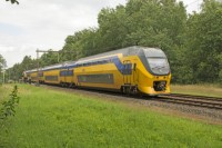
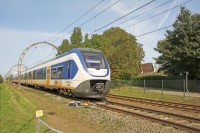
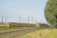
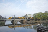
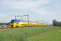
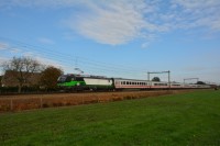
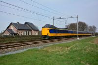
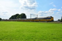
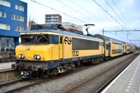
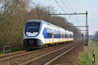
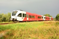
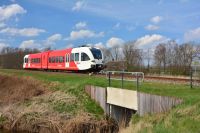
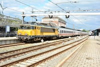
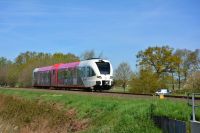
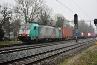
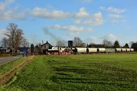
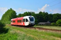
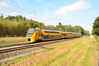
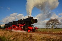
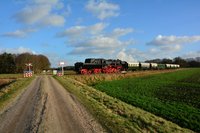
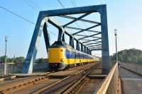
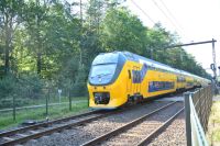
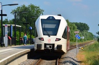
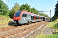
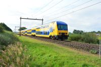
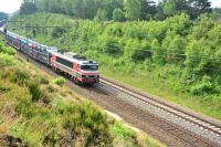
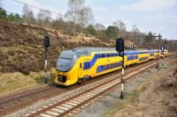
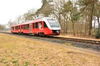
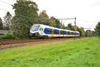
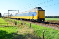
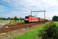
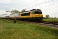
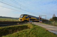
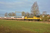
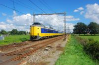
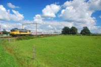
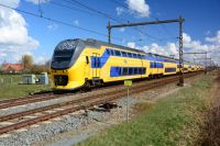
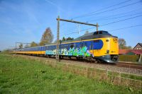
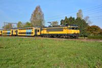
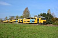
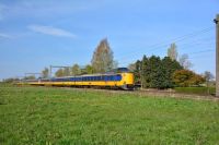
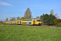
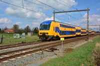
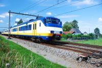
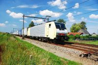
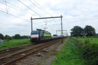
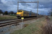
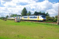
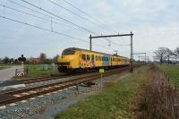
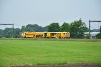
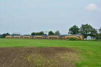
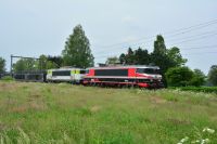
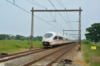
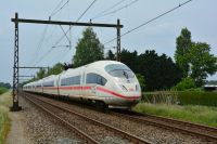
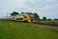
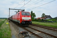
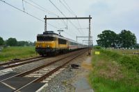
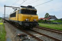
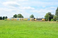
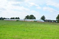
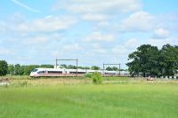
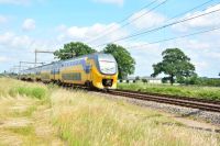
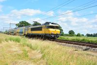
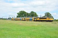
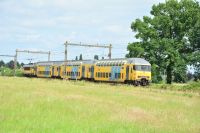
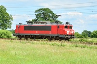
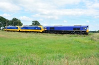
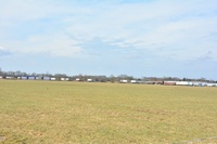
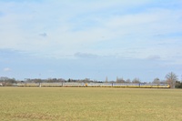
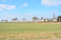
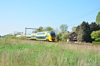
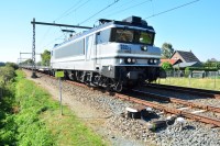
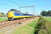
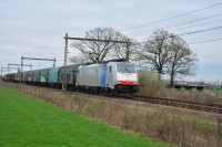
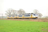
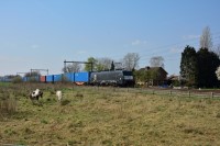
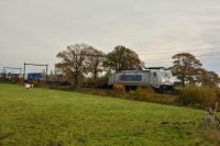
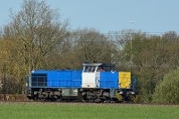
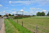
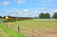
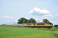
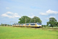
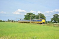
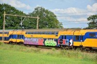
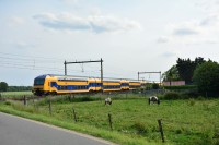
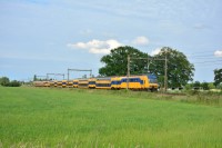
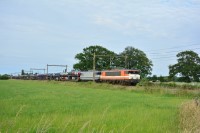
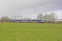
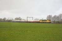
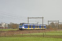
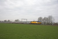
This is Train Spot Location: 2 Woudhuizerweg, Apeldoorn
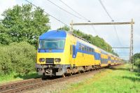
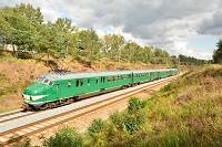
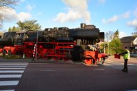
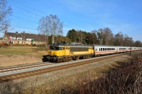
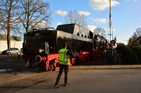
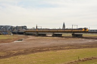
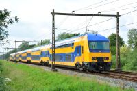
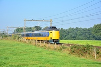
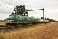
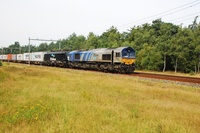
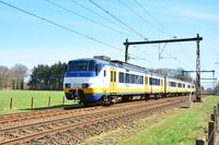
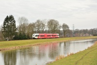
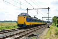
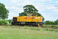
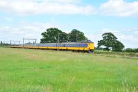
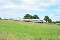
This location on the map Photo's shot at this location  Loading image. Please wait...
Video shot on this location Coordinates for navigation system When using a navigation system, coordinates below can be used:
Sun compass on SunCalc.net Click this link to see the sun cumpass for this loction at SunCalc.net. The link opens with the current day. It might be necessary to adjust the date and time to suit your visit. |
|||||||||||||
|
There are 168 locations in the database. Most recent 5 additions Locations in a distance of approx. 5 km Holthoevensestraat, Teuge Station Apeldoorn Osseveld Locations in a distance of approx. 5 to 10 km Prinses Beatrixlaan, Apeldoorn Tullekensmolenweg, Lieren Klarenbeek, Oudhuizerstraat Achterste Kerkweg, Lieren Locations in a distance of approx. 5 km Coldenhovenseweg, Eerbeek Brummen, Windheuvelstraat Kleine Vosstraat, Brummen Pomphulweg, Hoog Soeren Afleidingskanaal, Eefde |