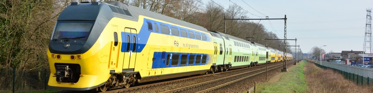
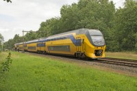
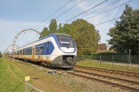
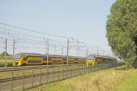
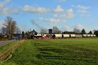
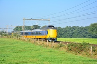
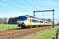
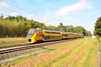
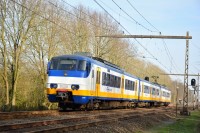
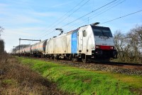
This is Train Spot Location: 25

Hartelaar, Twello

<-- Previous locationNext location -->

This location on the map

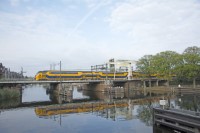
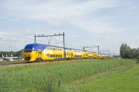
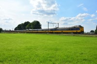
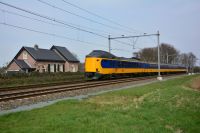
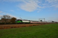
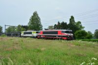
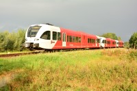
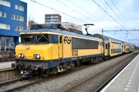
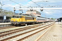
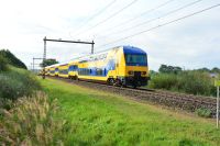
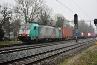
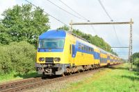
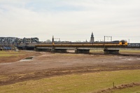
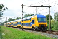
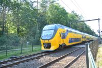
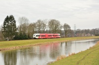
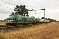
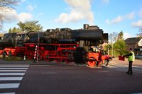
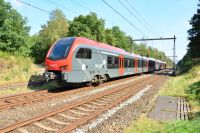
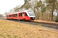
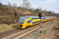
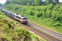
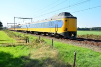
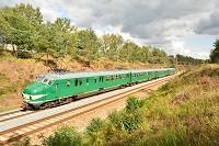
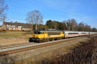
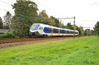
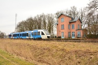
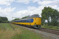
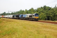
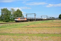
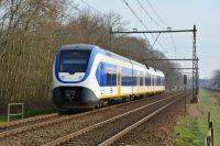
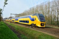
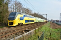
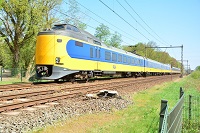
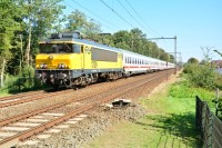
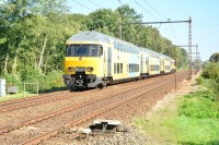
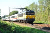
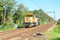
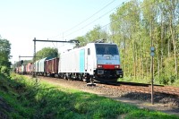
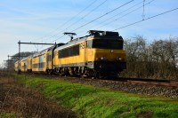
Photo's shot at this location

Loading image. Please wait...

Coordinates for navigation system

When using a navigation system, coordinates below can be used:
Lat  N 52° 14’ 8”  (52.235622°)
Long  E 6° 4’ 60”  (6.083198°)

Sun compass on SunCalc.net

Click this link to see the sun cumpass for this loction at SunCalc.net.

The link opens with the current day. It might be necessary to adjust the date and time to suit your visit.

There are 168 locations in the database.


Most recent 5 additions

Joppe

Maartensdijk

Loenersloot

Spaarnebrug

Fort aan den Ham

Locations in a distance of approx. 5 km

Bolkhorstweg, Teuge
2.1 km

Stationsweg, Teuge
2.4 km

Holthoevensestraat, Teuge
3.2 km

Woudhuizerweg, Apeldoorn
3.7 km

IJsselbrug, Deventer
4.8 km

Locations in a distance of approx. 5 to 10 km

Leigraaf, Klarenbeek
5.7 km

Klarenbeek, De Kar
5.7 km

Broekstraat, Klarenbeek
5.8 km

Station Apeldoorn Osseveld
5.8 km

Klarenbeek, Oudhuizerstraat
7.4 km

Station Apeldoorn
8.4 km

Olst, Diepenveenseweg
8.8 km

Station Voorst-Empe
9.6 km

Prinses Beatrixlaan, Apeldoorn
9.6 km

Olst, Puinweg
9.7 km

Locations in a distance of approx. 5 km

Joppe
10.4 km

Tullekensmolenweg, Lieren
10.5 km

Gooikersdijk, Deventer
10.6 km

Achterste Kerkweg, Lieren
10.8 km

Ruggeweg, Lieren
11 km

Aarninksweg, Deventer
11.5 km

Ordermolenweg, Apeldoorn
11.7 km

IJsselbrug, Zutphen
12.4 km

Brummen, Windheuvelstraat
13.4 km

Ugchelen, Willemsbos
13.4 km

Afleidingskanaal, Eefde
14 km

Kleine Vosstraat, Brummen
14.3 km

Loenenseweg, Eerbeek
14.5 km

Asselsepad, Apeldoorn
14.6 km

Coldenhovenseweg, Eerbeek
14.7 km

Huizerdijk, Almen
15 km

Assel Ingraving Zuid
15.8 km

Assel Ingraving Noord
15.8 km

Schapespikke, Bathmen
16 km

Assel Ingraving West
16.6 km

Halte Assel
17.3 km

Spankerenseweg, Leuvenheim
18 km

Station Laren-Almen
18.3 km

Oude Holterdijk, Bathmen
18.6 km

Pomphulweg, Hoog Soeren
18.8 km

Dijkerhoek
19.1 km